 |
GEOGRAPHIC INFORMATION SYSTEM |
||||
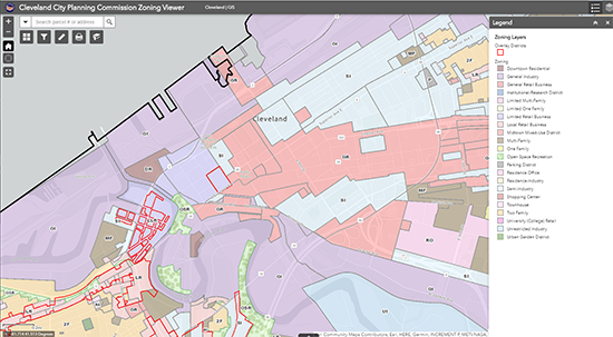
The City Planning Commission has developed an Interactive Mapping system to allow users to extract spatial related information. Data presented in this site is from external sources and the accuracy of that data is beyond the control of the maintainer of this site. Specifically, the City Planning Commission only maintains the Zoning, Landuse, and Census information. Also, some information accessed through this page may be preliminary. This information is provided with the understanding that it is not guaranteed to be correct or complete, and conclusions drawn from such information are the responsibility of the user. You can now view all of City Planning's data, web maps, and research at the City's Open Data Portal at data.clevelandohio.gov. Explore datasets and tools from various City departments, such as official boundaries, permitting, demographics, and more. For your convenience, we also provide preset configurations of the CPC Zoning Viewer that load the layers pertinent to other common tasks. The additonal maps can be found here: Preset Maps
|
||||